Export and Convert GIS Data and Coordinates Online
Export CAD/GIS Format Files
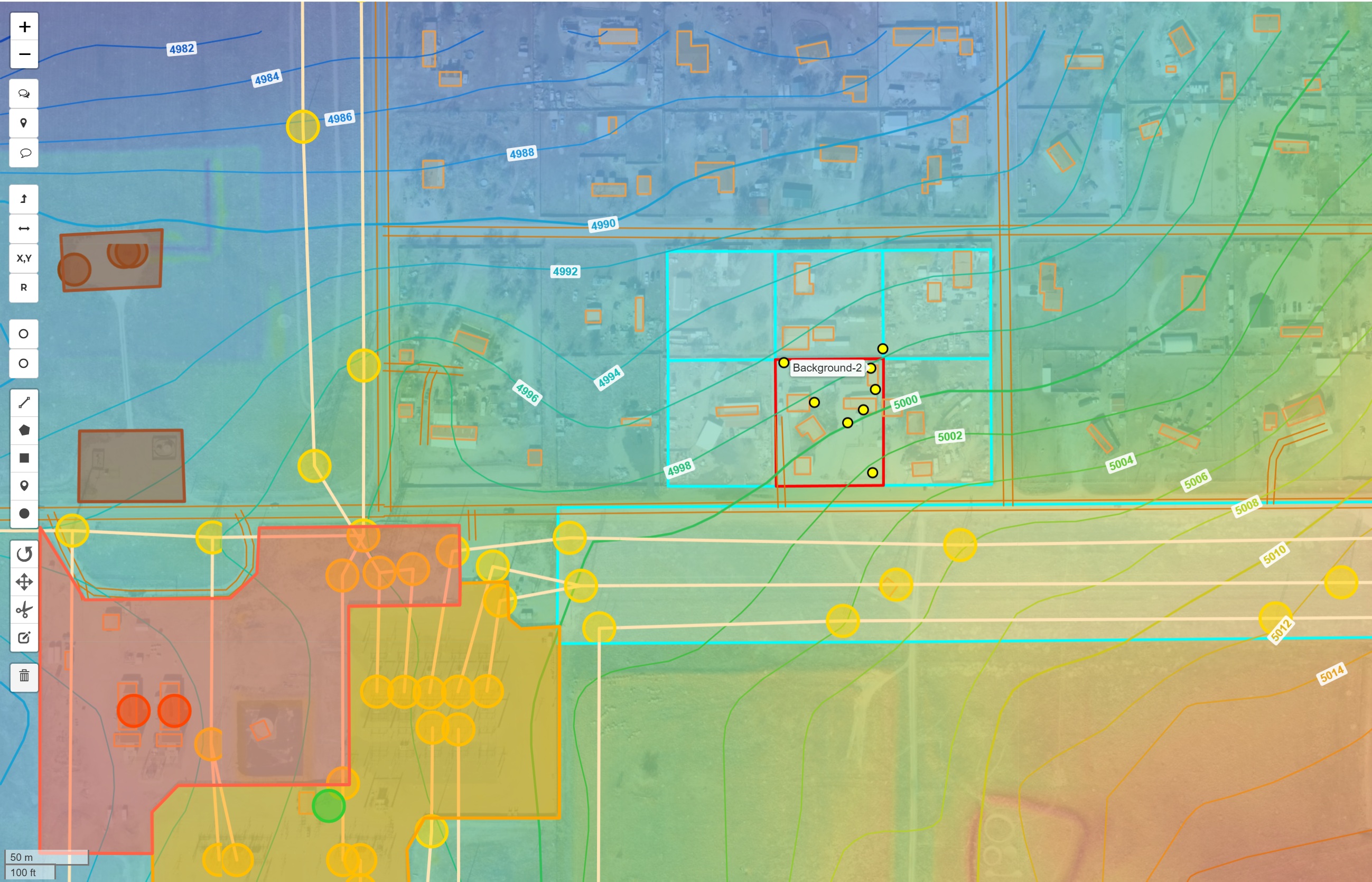
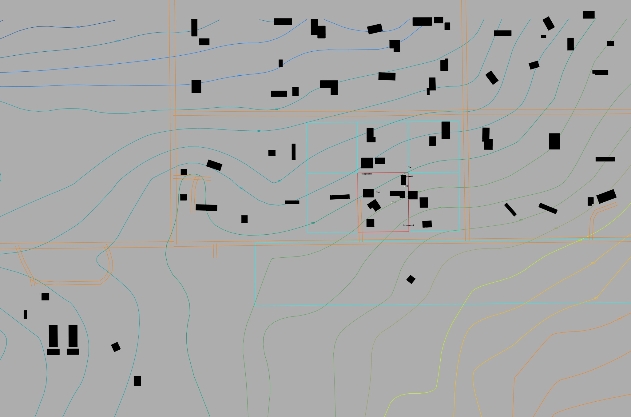
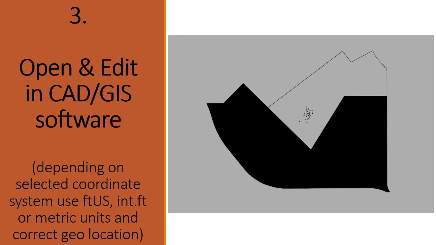
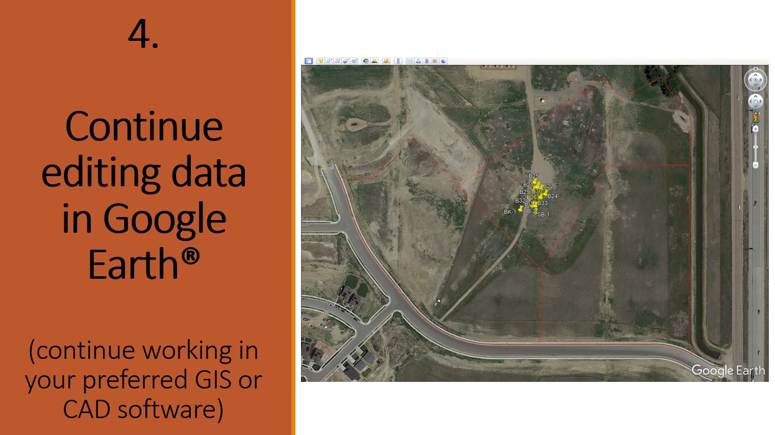
Expanding on our export functionality, in addition to boring log data exports for use in other soil logging or 3D modeling tools, we support exporting to multiple CAD/GIS formats in any coordinate system. Get a complete CAD/GIS file and save hundreds of dollars in the process.
LOGitEASY data:
- Borehole IDs & locations
- Groundwater elevations and contours
- Contamination concentrations and isoconcentration lines
- Any site features you've added or imported as GeoJSON data (e.g., USTs, gasoline dispensers, above-ground tanks, utilities, survey points, etc.)
External data:
- Topographic contours, derived from USGS 3DEP (up to 1m precision LiDAR data)
- Utility infrastructure locations based on AI vision and machine learning (Mapillary):
- Utility poles
- Street lights
- Sewer manholes
- Catch basins
- Water hydrants, etc.
- Energy infrastructure (OSM):
- Electric power lines, towers, substations, plants, and generators
- Telecommunication lines, data centers, and masts
- Petroleum pipelines, wells, and sites
- Water pipelines
- Borehole, monitoring, and drinking water well locations (Geosetta)
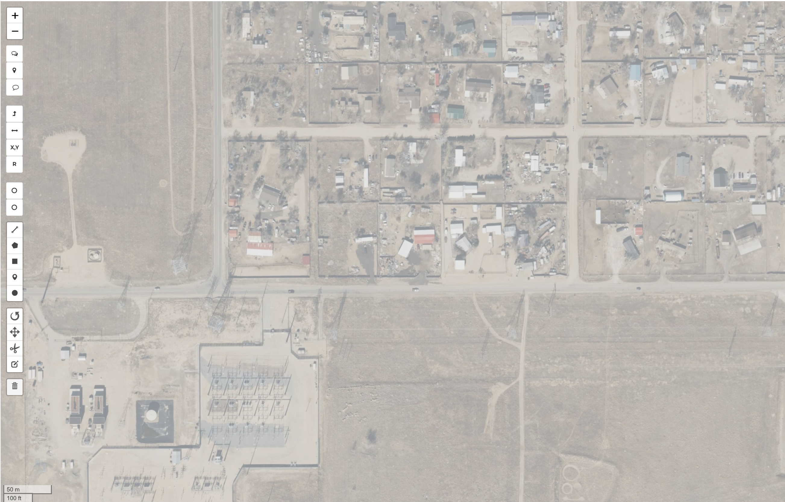
- Aerial, LiDAR, and 3DEP imaging
- Building footprints
- Road and street lines
- Property parcel boundaries (US only)
- Flood risk, air quality, and pollen information (Google)
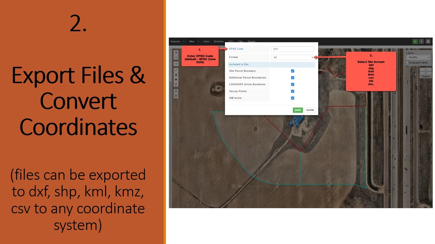
The default export file coordinate system is US State Plane (SPC) coordinate system in US feet (ftUS) – for projects in USA, or EPSG: 3857 (the projected coordinate system based on the WGS84 datum) – for projects in other countries ; however, you can transform your data to any other coordinate reference system if you know the EPSG code for that coordinate system. Our conversion service supports more that 3000 different coordinate systems, including WGS 84, WGS 84 / UTM zone, NAD27, NAD83, SPC (State Plane – ftUS, fti, m), and others.
Available export file formats : dxf, shp, kml, kmz, geojson, gml, gpx, mapinfo, dgn, gpkg, sqlite, csv, ods, xlsx.
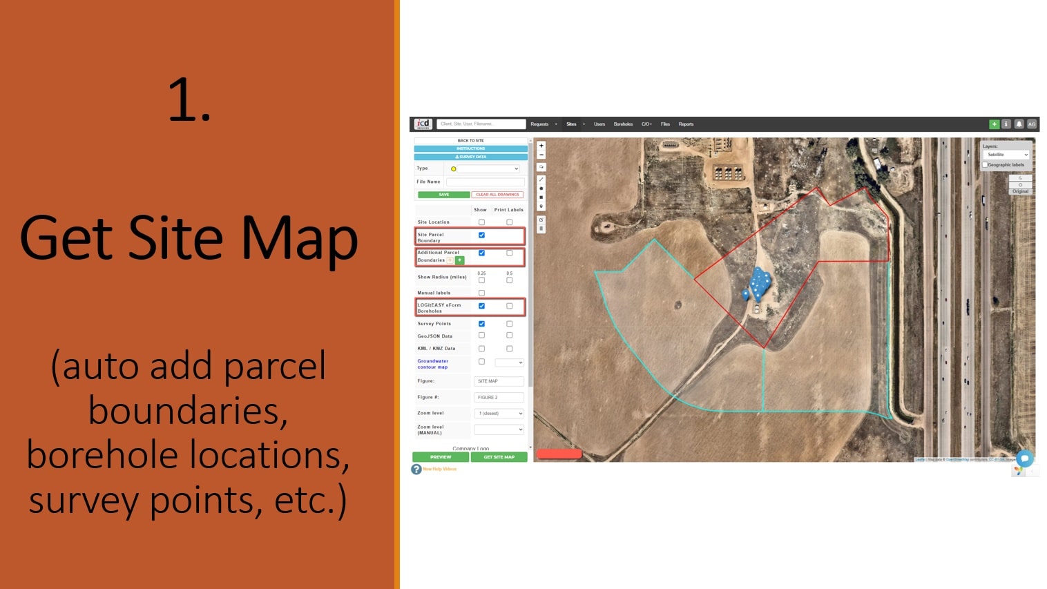
Survey information can be added by importing KML, CSV, GeoJSON files, adding points manually, or drawing features free hand. LOGitEASY eForm boring & well locations as well as project property and neighbor property parcel boundaries are added automatically (USA), provided borehole coordinates are entered/uploaded and/or correct site address added.