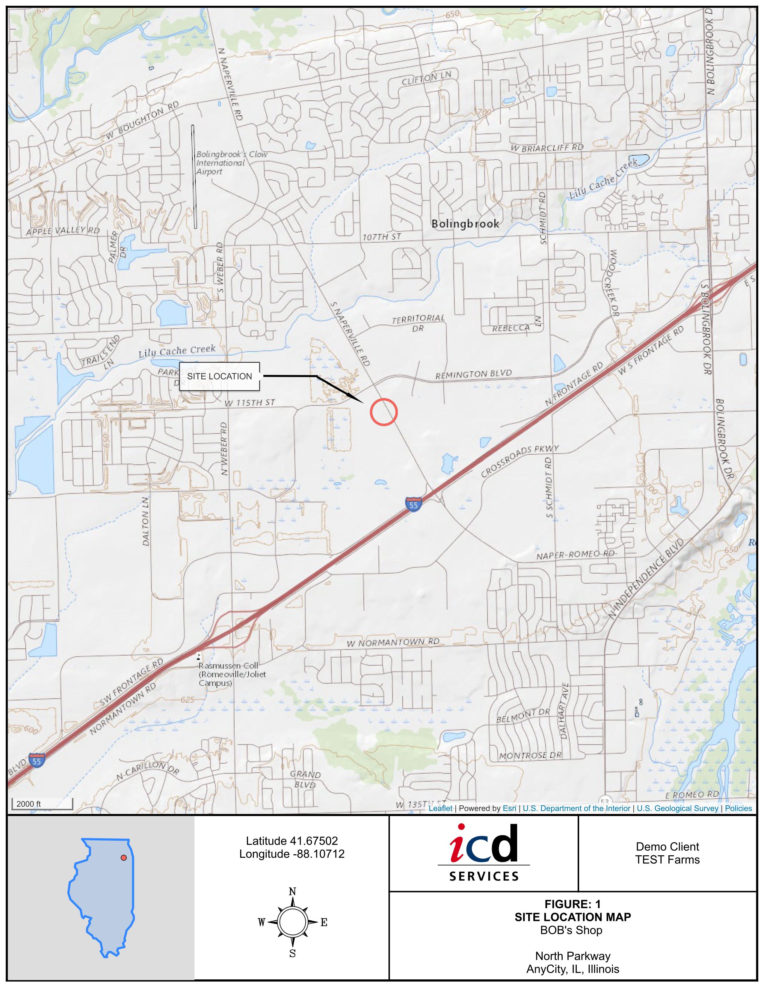
DIY Site Location Maps for Phase I ESA Reports Online
LOGitEASY Report Figure GIS software allows generating Site Location/Topographic Maps online without special GIS or graphic software knowledge, in 5 different zoom levels, on USGS topography or Mapbox terrain backgrounds.
Simply add a new site, including site name and address and create the figure in seconds.
Site location can be displayed as a circle or for projects in the US, as a parcel boundary polygon.
Site Location Maps are delivered in PDF format, on 8.5x11” titleblock, including your logo, client name, site # or name, site address and country or state (US) contour.
If you require geocoded parcel boundary files in CSV, GeoJSON, AutoCAD dxf, ESRI shape, GeoTIFF, KML, or other formats for use in other applications, please reach out.
Step-by-step video